
|
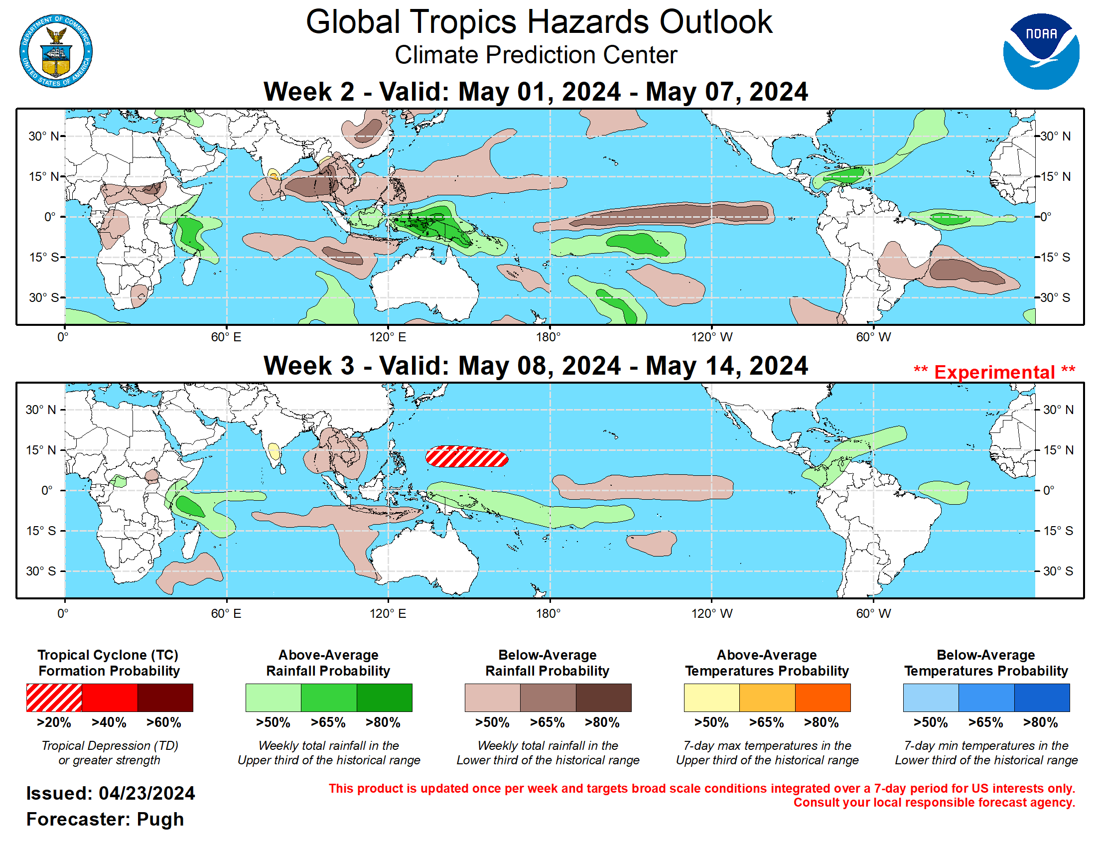
Graphic provided by Climate Prediction Center
What Is a Hurricane?
A hurricane (or typhoon, or severe tropical cyclone), the strongest storm on Earth, is a cyclonic (rotary) storm that derives its energy from cloud formation and rainfall, unlike frontal cyclones that derive their power from a temperature gradient.
A hurricane begins as a tropical depression with a sustained wind speed of less than 39 mph (35 knots; 63 km/hr). As the system strengthens, it becomes a tropical storm with winds from 39 to 73 mph (35-63 knots; 63-118 km/hr). Tropical storms are named in the Atlantic, East, Central and Northwest Pacific, in the South Indian Ocean, and in the Arabian Sea. When the winds are sustained (based on a one-minute average) at 74 mph (64 knots; 119 km/hr), the storm becomes: In the Atlantic Ocean, East Pacific, Central Pacific (east of the International Dateline) and Southeast Pacific (east of 160°E) a Hurricane; in the Northwest Pacific (west of the International Dateline) a Typhoon; in the Southwest Pacific (west of 160°E) and Southeast Indian Ocean (east of 90°E) a Severe Tropical Cyclone; in the North Indian Ocean a Severe Cyclonic Storm; and in the Southwest Indian Ocean (west of 90°E) a Tropical Cyclone.
The Saffir-Simpson Hurricane Scale
Category 1 – 64-82 knots (74-95 mph; 119-153 km/h). Damage is limited to foliage, signage, unanchored boats and mobile homes. There is no significant damage to buildings. The main threat to life and property may be flooding from heavy rains.
Category 2 – 83-95 knots (96-110 mph; 154-177 km/h). Roof damage to buildings. Doors and windows damaged. Mobile homes severely damaged. Piers damaged by storm surge. Some trees blown down, more extensive limb damage.
Category 3 – 96-112 knots (111-129 mph; 178-208 km/h). Major Hurricane. Structural damage to some buildings. Mobile homes are completely destroyed. Roof damage is common. Storm surge begins to cause significant damage in beaches and harbors, with small buildings destroyed.
Category 4 – 113-136 knots (130-156 mph; 209-251 km/h). Structural failure of some buildings. Complete roof failures on many buildings. Extreme storm surge damage and flooding. Severe coastal erosion, with permanent changes to the coastal landscape not unheard of. Hurricane force winds extend well inland.
Category 5 – 137+ knots (157+ mph; 252+ km/h). Complete roof failure on most buildings. Many buildings destroyed, or structurally damaged beyond repair. Catastrophic storm surge damage. In the Northwest Pacific, a typhoon that reaches 150 mph (241 km/hr) is called a Super Typhoon.
|
Storm Surge
Historically, storm surge is the primary killer in hurricanes. The exact storm surge in any given area will be determined by how quickly the water depth increases offshore. In deep-water enviroments, such as the Hawaiian islands, storm surge will be enhanced by the rapidly decreasing ocean depth as the wind-driven surge approaches the coast. The peak storm surge is on the right-front quadrant (left-front in the Southern Hemisphere) of the eyewall at landfall, where on-shore winds are the strongest, and at the leading edge of the eyewall. Contrary to a popular myth, the storm surge is entirely wind-driven water—it is not caused by the low pressure of the eye. Another factor in the severity of the storm surge is tide. Obviously, an 18-foot storm surge at high tide is that much worse than an 18-foot surge at low tide.
COPYRIGHT ©1995-2024 JONATHAN EDWARDS. ALL RIGHTS RESERVED. PORTIONS COPYRIGHT THEIR RESPECTIVE OWNERS. REPUBLICATION OR REDISTRIBUTION OF HURRICANEZONE.NET CONTENT, INCLUDING BY FRAMING OR SIMILAR MEANS, IS EXPRESSLY PROHIBITED WITHOUT THE PRIOR WRITTEN CONSENT OF JONATHAN EDWARDS. THE HURRICANEZONE.NET LOGO IS A TRADE MARK OF JONATHAN EDWARDS. JONATHAN EDWARDS SHALL NOT BE LIABLE FOR ANY ERRORS OR DELAYS IN CONTENT, OR FOR ANY ACTIONS TAKEN IN RELIANCE THEREON.