Atlantic Basin Tropical Cyclone Tracking
Graphic provided by the National Hurricane Center
The Atlantic hurricane season runs from June 1st through November 30th.
The Atlantic hurricane season runs from June 1st through November 30th.
Advisories and Bulletins
- Tropical Cyclone Advisories and Bulletins (NHC)
- Weather Prediction Center (NOAA)
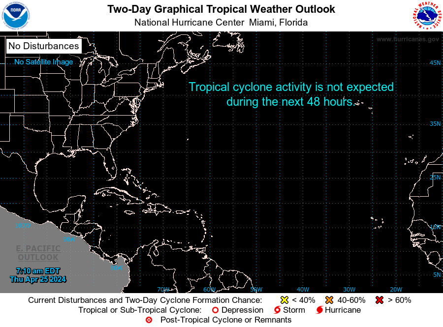
- Tropical Weather Outlook (NHC)
- Tropical Weather Discussion (NHC)
- Watches, Warnings or Advisories for the United States (NWS)
- Global Tropical Hazards Outlook (NWS)
Hurricane Tracking
- NRL Tropical Cyclone Page
- FNMOC Satellite Data Tropical Cyclone Page
- Automated Tropical Cyclone Forecasting System (NRL)
- Tropical RAMSDIS Online (CSU)
- NCEP/EMC Cyclone Tracks Page (NWS)
- UW-CIMSS Advanced Microwave Sounding Unit (AMSU)
- Official NHC Hurricane Tracking Chart
Weather Conditions
- Today's Weather Forecast Map (NOAA)
COPYRIGHT ©1995-2024 JONATHAN EDWARDS. ALL RIGHTS RESERVED. PORTIONS COPYRIGHT THEIR RESPECTIVE OWNERS. REPUBLICATION OR REDISTRIBUTION OF HURRICANEZONE.NET CONTENT, INCLUDING BY FRAMING OR SIMILAR MEANS, IS EXPRESSLY PROHIBITED WITHOUT THE PRIOR WRITTEN CONSENT OF JONATHAN EDWARDS. THE HURRICANEZONE.NET LOGO IS A TRADE MARK OF JONATHAN EDWARDS. JONATHAN EDWARDS SHALL NOT BE LIABLE FOR ANY ERRORS OR DELAYS IN CONTENT, OR FOR ANY ACTIONS TAKEN IN RELIANCE THEREON.